


Cadastral data
Cadastral data
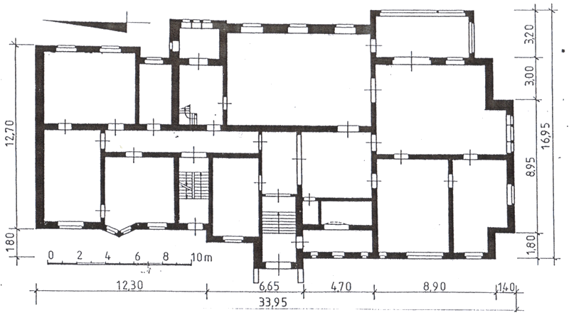
Palace built in 1897, net area of 1 340 square meters
General data:
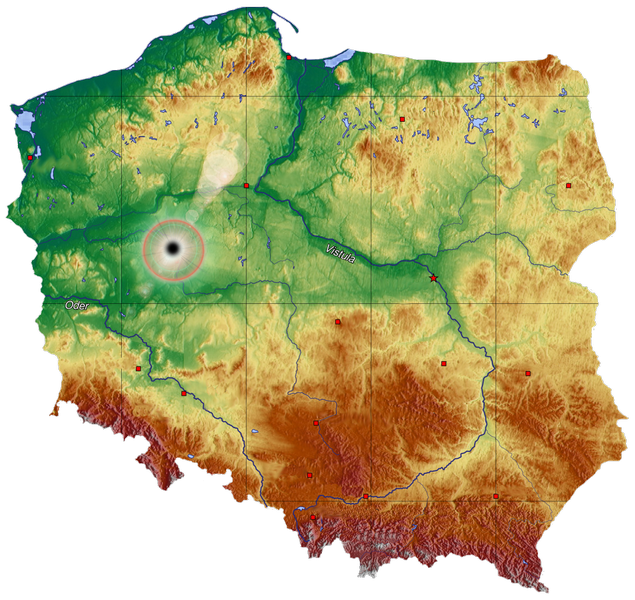
voivoidship – wielkopolskie
poviat – poznański
administrative unit – Rokietnica
region – Napachanie
map sheet – 1
Details:
The property includes:
plot no. 152/2 – 3,5902 ha
plot no. 153/2 – 0.1472 ha
plot no. 157/5 – 3.4639 ha
Total area:- 7,2013 ha
Potential development
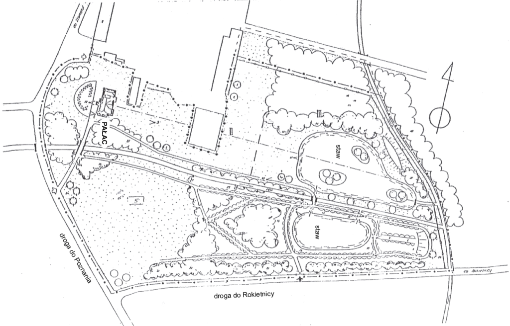
Napachanie palace and park complex is comprised of two plots of land. One of the plots is non-wooded and it will be possible to develop it with buildings supporting future operations of the palace, provided that the style of the erected buildings will correspond to the architectural style of the palace. The second plot of land, developed with palace, is wooded.
Location
The palace of 1 340 square meters and a park of 7.2 hectares, which can be developed with buildings, are located in Napachanie, Rokietnica administrative district, about 16 kilometers north-west of Poznań. It is surrounded by forests and situated near intersection of Poznań-Szamotuły main road that was modernized in 2012 and Rokietnica-Tarnowo Podgórne local road. According to local development plans, Poznań ring road will be constructed about 1.5km from the property which will improve transportation in the future.
The property is conveniently located 3 kilometres from Kierskie lake with a surface area of 300 ha, one of the largest in the region. Many popular sailing centres are located by the lake. In the winter, it is popular amongst iceboating enthusiasts.
North-West Poznań is highly valued by developers of single-family housings. Smochowice, Chyby and Kobylniki are increasingly popular places where upscale residences are being constructed.